

The Skydio X10 represents a significant step forward in autonomous drone technology, designed specifically for enterprise, industrial, and public-sector operations where reliability, intelligence, and situational awareness matter more than manual piloting skill. Unlike consumer-focused drones that emphasize photography or recreational flight, the Skydio X10 is engineered for complex environments—places filled with obstacles, unpredictable terrain, limited visibility, and high operational risk. Its core value lies in autonomy: the ability to understand its environment, make real-time decisions, and execute missions with minimal human intervention, while maintaining high standards of safety and data quality.
The Vision Behind Skydio’s Autonomous Systems
At the heart of the Skydio X10 is Skydio’s philosophy—that drones should be able to fly themselves with intelligence comparable to that of a skilled human operator, but with greater consistency and awareness. Rather than relying primarily on GPS and manual stick control, Skydio platforms prioritize onboard artificial intelligence, computer vision, and real-time perception. The X10 builds on years of research and operational feedback, elevating autonomy from a supporting feature to the aircraft’s defining capability.
Hardware Design and Physical Architecture
The Skydio X10 features a robust airframe designed to handle demanding environments, including industrial sites, urban infrastructure, and outdoor locations where wind, dust, or precipitation are common. Its structure balances durability with aerodynamic efficiency, allowing stable flight even in tight or cluttered spaces. The drone’s size and weight are optimized to support multiple sensors and advanced onboard computing without compromising maneuverability. This balance is critical, as the X10 must remain agile enough to navigate around obstacles while carrying the processing power required for advanced autonomy.
Advanced Sensor Array and Environmental Awareness
A defining element of the Skydio X10 is its dense sensor array. Multiple cameras positioned around the aircraft provide near-complete environmental coverage, enabling the drone to build a three-dimensional understanding of its surroundings. These sensors continuously feed visual data into onboard processors, allowing the system to detect obstacles, evaluate distances, and anticipate movement paths in real time. This approach goes beyond simple obstacle avoidance; it enables the drone to plan smooth, efficient routes through complex environments that traditional drones would struggle to navigate or fail to reach.
Artificial Intelligence and Autonomous Navigation
Advanced AI models drive autonomy in the Skydio X10, trained on vast datasets of real-world environments. These models enable the drone to recognize structures, surfaces, and potential hazards and dynamically adjust its flight path. Instead of stopping abruptly when encountering an obstacle, the X10 can reroute itself smoothly, maintaining mission continuity. This capability is especially valuable in inspection and monitoring tasks, where uninterrupted data capture is critical and manual corrections would slow operations or introduce risk.
Flight Performance and Operational Stability
From a performance perspective, the Skydio X10 is built for controlled, predictable flight rather than extreme speed or acrobatics. Its propulsion system emphasizes stability, precision hovering, and smooth directional changes. These characteristics make it well suited for close-proximity inspections and indoor or semi-enclosed environments. The drone’s flight control algorithms continuously compensate for wind, turbulence, and sudden environmental changes, ensuring consistent data collection even under less-than-ideal conditions.
Imaging Systems and Data Capture Capabilities
The Skydio X10 integrates high-quality imaging systems tailored for professional data collection. Visual cameras deliver detailed imagery suitable for inspection, documentation, and analysis, while thermal or specialized sensors extend their capabilities to low-visibility scenarios. This multi-sensor approach allows operators to capture both surface-level and hidden details, such as heat anomalies or structural inconsistencies. The result is a comprehensive dataset that supports informed decision-making across a wide range of industries.
Software Ecosystem and Mission Control
Equally important to the hardware is the software ecosystem that supports the Skydio X10. Mission planning tools allow operators to define objectives, routes, and data requirements before flight, while real-time monitoring interfaces provide situational awareness during operations. The software is designed to reduce cognitive load, enabling operators to focus on outcomes rather than constant manual control. Post-flight data management tools further streamline workflows by efficiently organizing, processing, and sharing captured information.
Security, Data Integrity, and Compliance
For enterprise and government users, security is a non-negotiable requirement. The Skydio X10 incorporates secure data handling practices, including encrypted storage and communication protocols. These measures help protect sensitive information captured during inspections, surveillance, or emergency response operations. Compliance with organizational and regulatory standards ensures the drone can be deployed in environments where data governance and operational transparency are critical.
Industrial Inspection and Infrastructure Monitoring
One of the most prominent applications of the Skydio X10 is infrastructure inspection. Power lines, bridges, towers, and industrial facilities often pose challenges for manual inspection due to height, confined spaces, or hazardous conditions. The X10’s autonomous navigation allows it to operate safely in these settings, capturing consistent, high-quality data while reducing risk to human inspectors. Its ability to maintain precise positioning near structures enhances both safety and inspection accuracy.
Public Safety and Emergency Response Use Cases
Public safety agencies benefit significantly from the Skydio X10’s rapid deployment and autonomous capabilities. In emergency scenarios, such as search-and-rescue operations or disaster assessment, time is critical, and conditions may be chaotic. The drone’s ability to navigate debris-filled or low-visibility environments enables responders to quickly gain situational awareness. Thermal imaging and real-time video feeds further support decision-making, helping teams allocate resources more effectively and safely.
Energy, Utilities, and Environmental Applications
In the energy and utilities sectors, the Skydio X10 supports routine monitoring and maintenance tasks that would otherwise require costly shutdowns or dangerous manual access. Wind turbines, solar farms, and transmission infrastructure can be inspected efficiently with minimal operational disruption. Environmental monitoring applications also benefit from the drone’s autonomy, as it can consistently survey large or remote areas, providing data for analysis without requiring repeated manual intervention.
Deployment, Training, and Operational Workflow
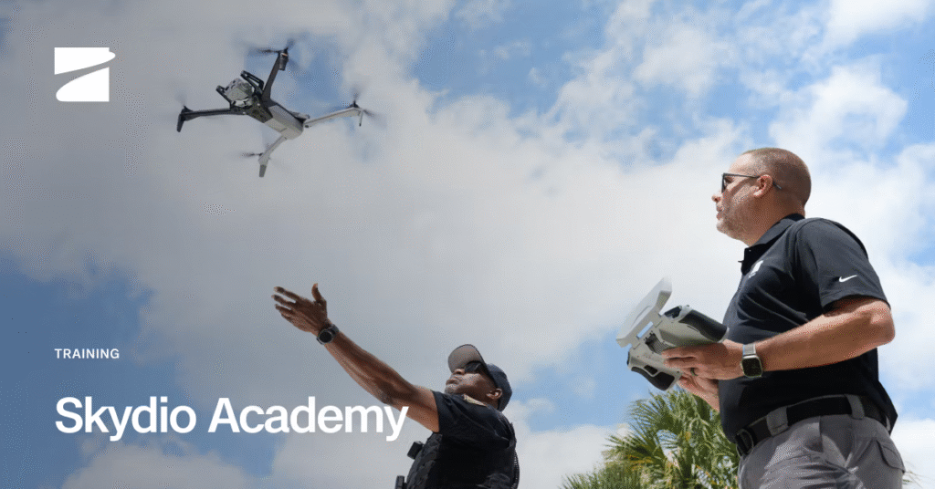
Despite its advanced capabilities, the Skydio X10 is designed to be accessible to operators with varying levels of experience. Training focuses on mission planning, safety protocols, and data interpretation rather than complex piloting skills. Deployment workflows are streamlined, allowing teams to integrate the drone into existing operations without extensive restructuring. Maintenance and fleet management tools further support long-term use, ensuring reliability across repeated missions.
Advantages Over Traditional Drone Platforms
Compared to traditional manually piloted drones, the Skydio X10 offers clear advantages in safety, efficiency, and data consistency. Its autonomous navigation reduces the likelihood of collisions, while its AI-driven perception allows it to operate in environments that would challenge human pilots. By minimizing manual input, organizations can achieve more predictable results and scale operations without a proportional increase in staffing or training requirements.
Limitations and Practical Considerations
While the Skydio X10 excels in many areas, it is not without limitations. Autonomous systems still depend on sensor performance and environmental conditions, meaning extreme weather or featureless environments can impact effectiveness. Regulatory frameworks may also influence where and how the drone can be deployed. Additionally, the advanced technology and enterprise focus position the X10 in a higher cost tier than consumer drones, making it most suitable for organizations with precise operational requirements and budgets.
The Future of Skydio X10 and Autonomous Operations
Looking ahead, the Skydio X10 represents a broader shift toward fully autonomous aerial systems. Continued improvements in AI, sensor technology, and software integration will further expand its capabilities, enabling even more complex missions with minimal human oversight. As industries increasingly prioritize automation, safety, and data-driven decision-making, platforms like the Skydio X10 are positioned to play a central role in shaping the future of aerial operations.
Conclusion
The Skydio X10 stands as a powerful example of how autonomy can redefine drone operations for enterprise and public-sector use. By combining advanced AI, comprehensive sensing, and a secure software ecosystem, it delivers reliable performance in environments where traditional drones fall short. For organizations seeking safer inspections, faster response times, and higher-quality data, the Skydio X10 offers a compelling solution that aligns technology with real-world operational demands.
READ MORE: Self Times